Protected Cycle Lanes & Works Updates
What is a protected cycle lane?
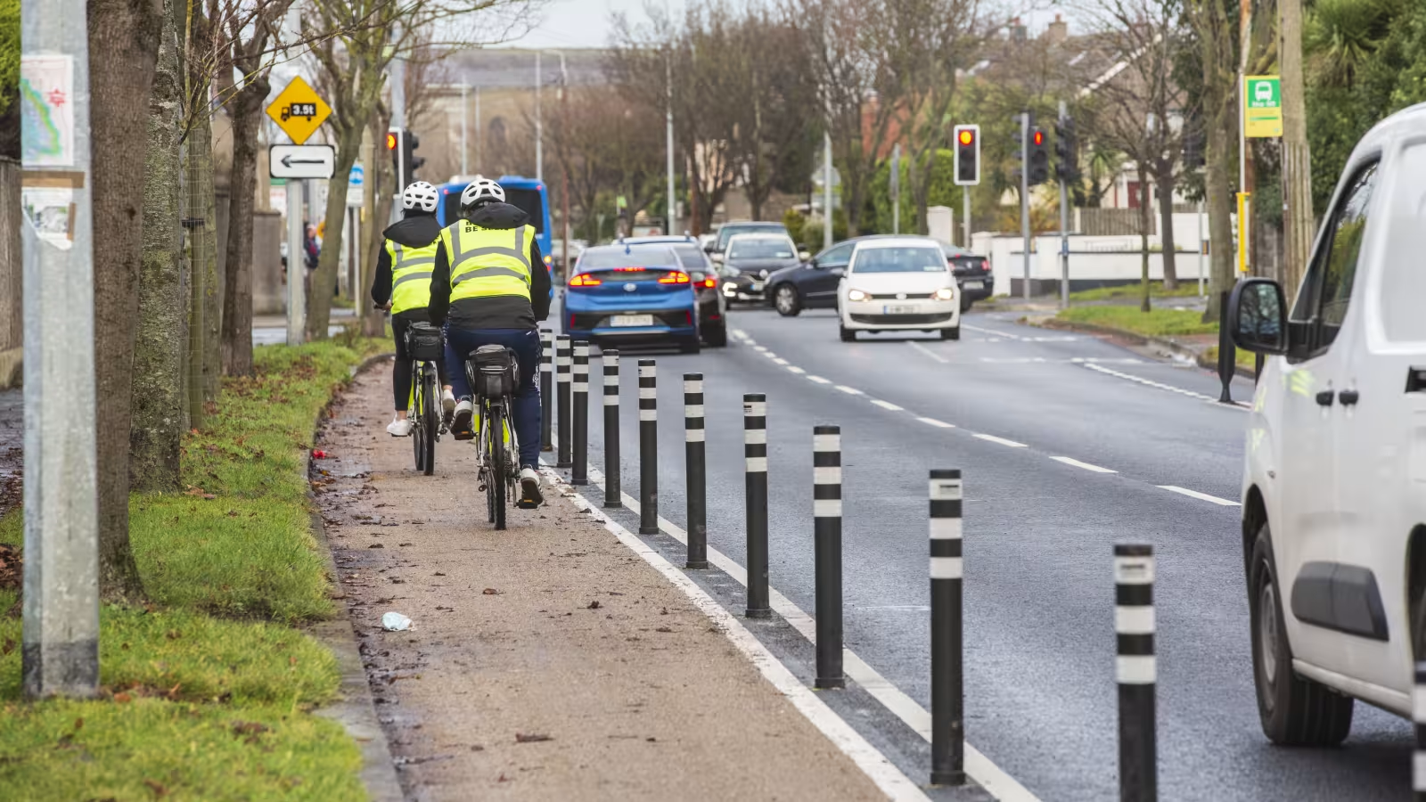
Protected cycle lanes are designated traffic lanes for cycling. They separate bikes from other vehicles and pedestrians in order to increase safety for everyone when traffic is busy.
A protected cycle lane may be marked out from vehicle lanes using a number of different methods including coloured epoxy resin coatings, bollards, kerbs and painted road markings. The method used on any given cycle lane is chosen based on what best suits the local environment
What are the benefits of protected cycle lanes?
Protected cycle lanes prevent vehicles and bikes from encroaching into one another’s space on the road. In high traffic areas it is often helpful to separate bikes from other vehicles in order to provide a safe travel space for everyone. In areas with lots of pedestrians, and a very high volume of cyclists, it is sometimes also helpful to provide designated cycling and walking areas which are distinct from one another.
In deciding where to install protected cycle lanes Fingal County Council carries out traffic surveys and consults with the local community and An Garda Síochána to ensure the right solution is provided for the locality. Not all cycle lanes are called ‘protected cycle lanes’ but all of the cycle lanes in Fingal have been designed to provide the safest possible cycling environment.
Cycling & Walking Infrastructure Project Updates
Seatown Road to Estuary Road, Swords - Cycling & Walking Improvements
Update 20 July 2026
- Alternative pedestrian routes are now in place on both sides of Seatown Road, while works on footpaths, drainage and ducting continue.
- The north side footpath between the IDA Roundabout and Estuary Road Roundabout is closed this week.
- Two-way traffic will be maintained this week during the day.
- One-way diversion will be in place 7pm to 6am, 20 July, from R132 to Estuary Road, to facilitate surfacing works.
- Permanent bus stops on both sides of the road are now in use.
- Stop/go system in place at night 21-24 July to facilitate road markings & gully works.
Auburn Avenue Walking & Cycling Scheme
Update 20 July 2026
Works for this week:
- Traffic Management setup for the Old Navan Road/ Auburn Avenue Roundabout.
- Drainage works to continue on the northeast and northwest quadrants of the Old Navan Road/ Auburn Avenue Roundabout.
- Drainage works have commenced on the Old Navan Road.
- Ducting and chamber works to continue on the south, east and northeast Old Navan Road/ Auburn Avenue Roundabout.
Works completed to date:
- Site compound setup.
- Removal of refuge islands on the Old Navan Road/ Auburn Avenue Roundabout.
- Completion of trial hole investigations at various locations around the Old Navan Road/ Auburn Avenue Roundabout.
- Drainage works connections into the existing stormwater network have been completed on the southwest and southeast quadrants of the Old Navan Road/ Auburn Avenue Roundabout.
Flemington Road Junction Upgrade – Balbriggan:
Update 20 July 2026
- Signage associated with the Footpath and Cycle Track Works are scheduled to be installed this week.
- Line Marking Works associated with the Footpath and Cycle Track were completed on the western side of the R132 last week.
SRTS Round 2 Construction St Colmcille's National School, Swords.
Update 30 June 2026
- The contractor has been appointed for the works and will start works late next week on Seatown Road as part of the St Colmcille’s works.
- All works will be coordinated with all Active Travel projects in the Swords area to ensure there is no additional disruption in the area.
Beverton Donabate Permeability Works
Update 23 June 2026
- Works nearing completion.
- Contractor will be on site this week finish works and undertaking snagging.
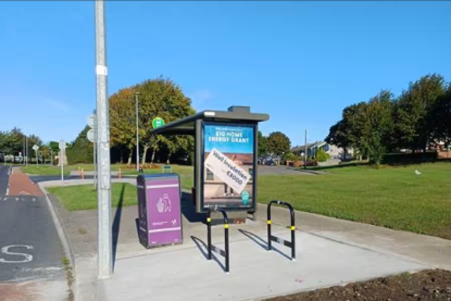
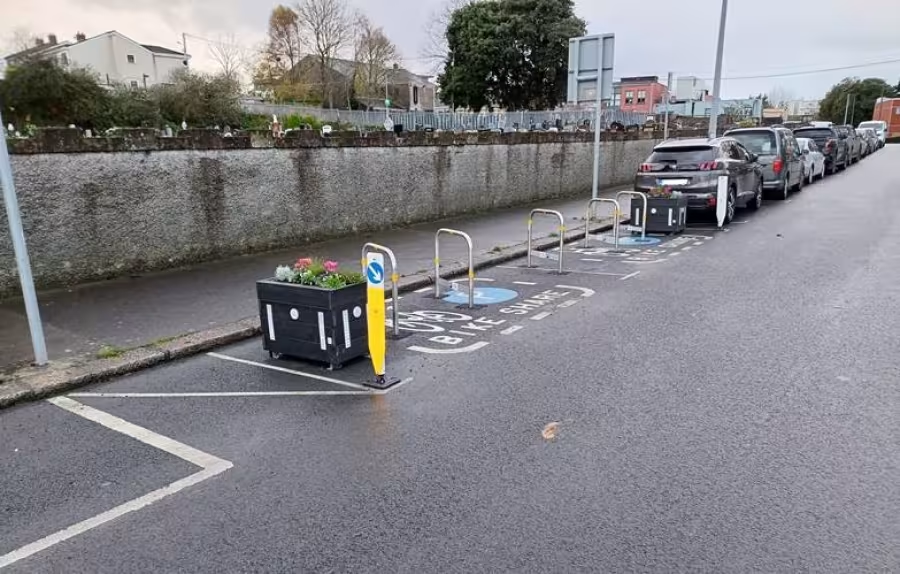
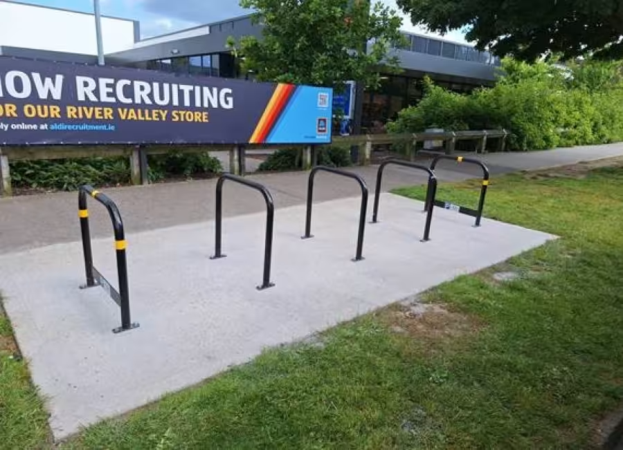
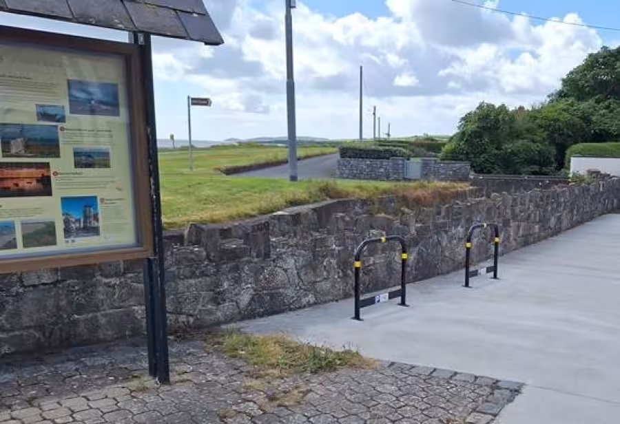
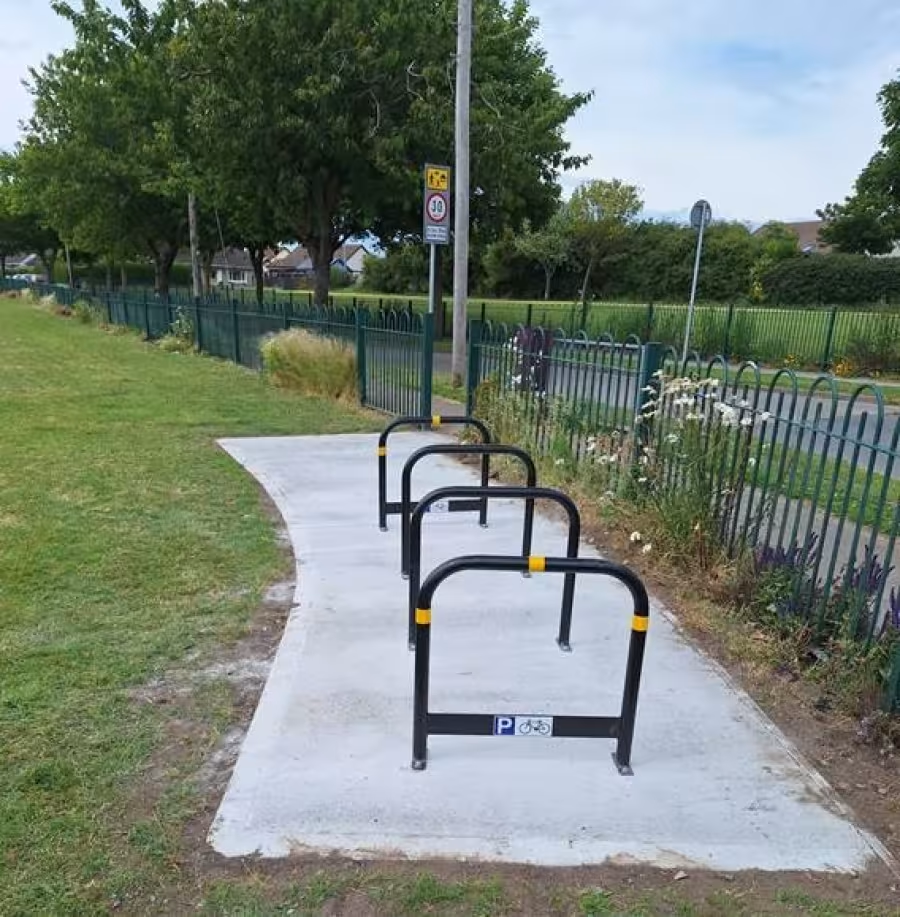
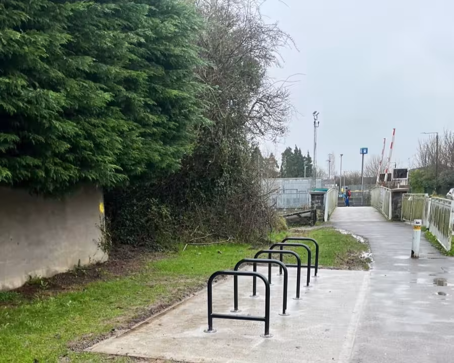
Bicycle Parking Infrastructure
Update 14 July 2026
Bike stand installation works continue this week at five separate locations in Portmarnock.
Location 1 –R106 / St Lawerance Ave (Outside Neil Blaney Solicitors) Outside Blaney Solicitors.
Location 2 – Outside No 38, Strand Road, across from Kingsford Medical Centre.
Location 3 – At Bus Stop (3600) on Strand Road.
Location 4 – Bus Stop Carrickhill Lower
Location 5 – Within the Portmarnock Park & Football pitches.
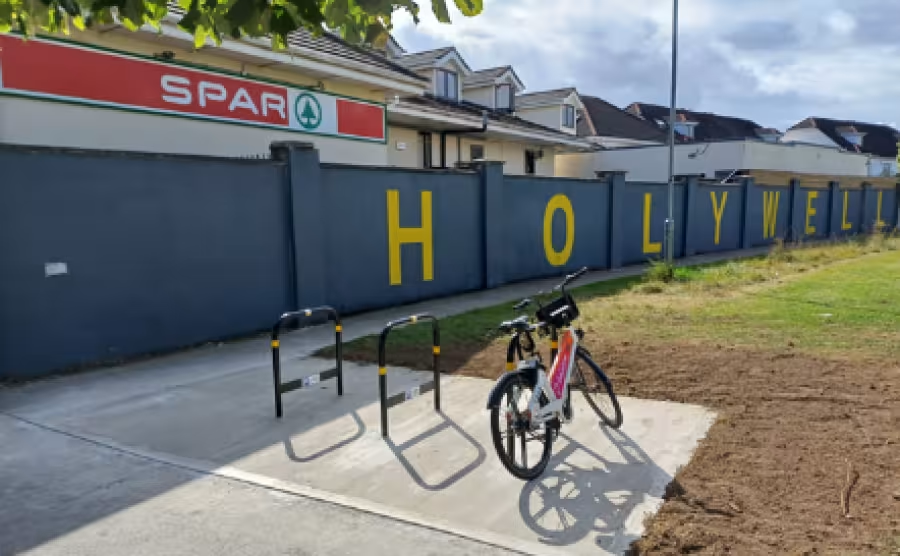
Holywell Gardens, Swords, Co. Dublin
River Valley Road, Hilltown, Swords
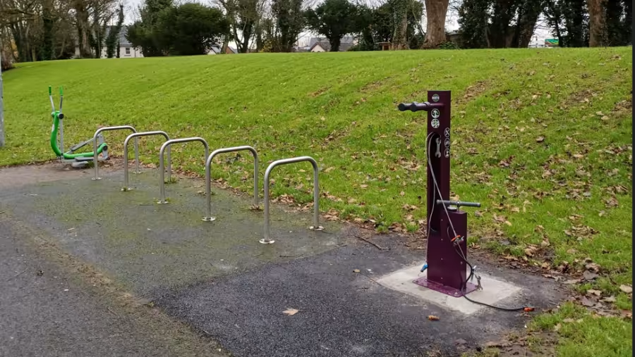
Bicycle Repair Station, Kenure Park, Rush
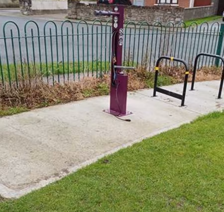
Bicycle Repair Station, Hayestown Football Pitch, Rush
Chapel Lane, Swords, Co. Dublin
Mulhuddart Village, Blanchardstown
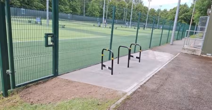
Swords Lawn Tennis Club, Swords, Co. Dublin
Rathingle Road, Swords, Co. Dublin
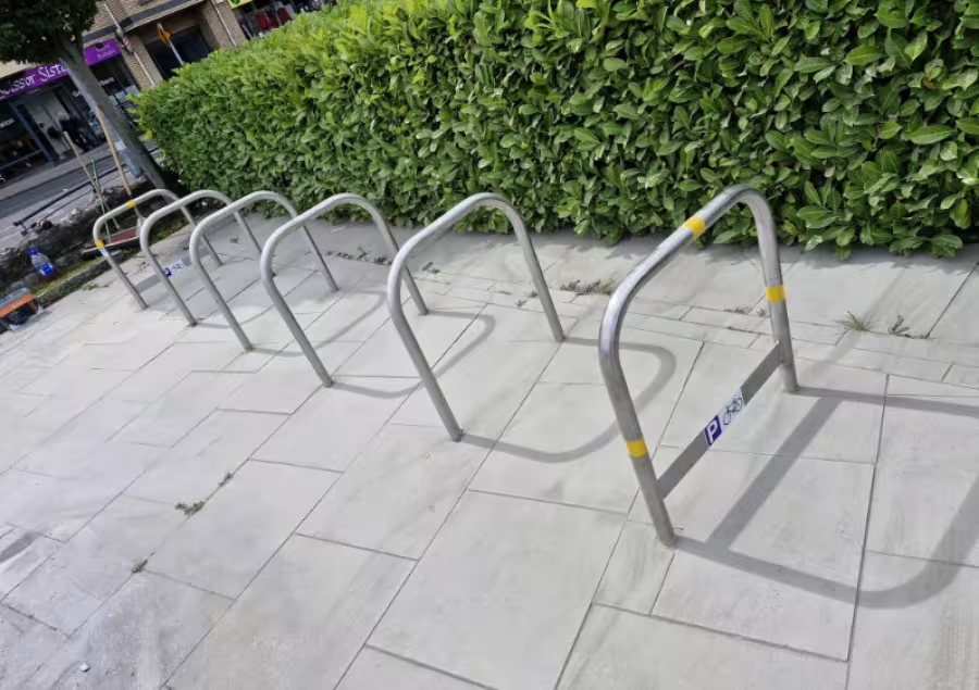
South Strand Street, Skerries, Co. Dublin
Hayestown Football Pitch, Rush, Co. Dublin
Coolmine Road, Blanchardstown


