Met Éireann Orange Rain warning downgraded
Some respite in the intensity of the rain as the Status Orange warning for Dublin is due to expire at 9am instead of 3pm today (Fri, 6 Feb)
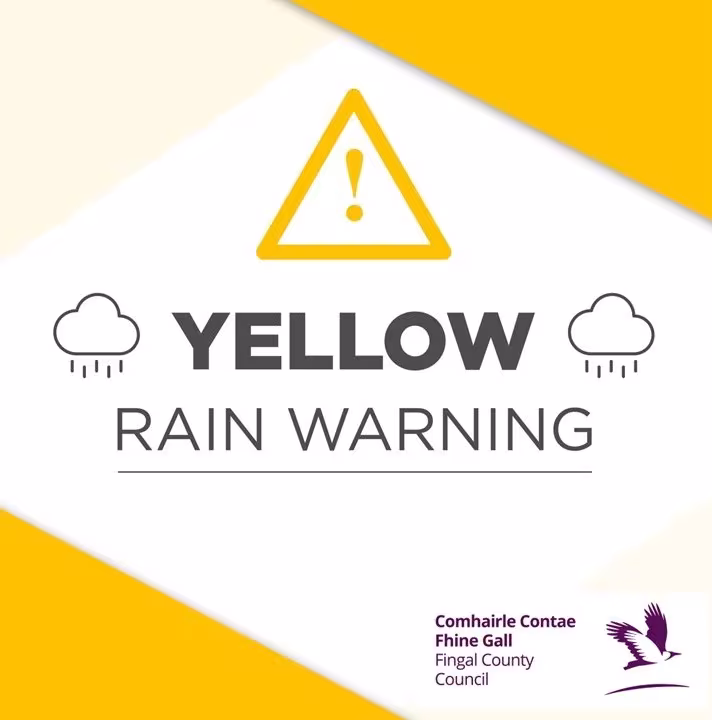
UPDATE: 6 February 2026
The rain has eased somewhat after a pretty brutal few days of downpours, and while Met Éireann have replaced yesterday's Orange Rain Warning, we still have a Status Yellow warning in place through until midday today.
The message remains the same, with further rain falling on already saturated ground combined with high river levels and high tides meaning during this period there may be river flooding, localised flooding, and challenging travelling conditions.
According to Met Éireann, rainfall this week has been between two‑and‑a‑half and three times higher than average, so that's an unusually high amount. Some good news in so much as there is an expectation that the weekend will be a bit drier.
A key safety reminder for everyone: please keep your distance from riverbanks, streams and canals, as rising water levels can happen very quickly. Make sure children and pets stay well away from waterways and any flooded areas. And remember the advice of the Irish Coast Guard: “Stay Back, Stay High, Stay Dry.”
The council is keeping a close eye on river levels and coastal conditions, and we’re in regular contact with the National Emergency Coordination Group as the recent weather continues. Our crews remain on standby and are ready to deal with any flooding issues. As a precaution, sandbags have been placed in a number of locations to help reduce any potential impacts.
During this period, we will update about road closures or diversions via our social media channels.
A weather advisory also remains in place this week, with rainfall expected right through to February 9th. Because the ground is already saturated and river levels are high, there’s a continued risk of flooding.
If you need to report flooding, fallen trees or similar issues, please call Fingal’s Emergency Line on 01 890 5000. This is the quickest way to make sure incidents are logged and dealt with promptly by our teams. We’re monitoring the situation closely and are here to help if needed.
Build extra time into your journey to allow for possible delays. If you’re driving, slow down and be prepared for surface water, debris on the roads, and reduced visibility. Never ignore ‘Road Closed’ signs or attempt to drive through floodwater—turn around and find an alternative route.
The Irish Red Cross has a dedicated phone helpline (01 642 4648) to support anyone distressed by flood damage to their home, property or business. The helpline is for people who would like to speak to someone who can provide them with a supportive ‘listening ear’ and make them aware of other Government or local authority support services.
ESB Networks is also highlighting the dangers posed by fallen live wires and is advising the public and the emergency services to stay away from these fallen cables and to report such cases to it immediately. ESB Emergency Services can be contacted at 1800 372 999.
5 February 2026
Met Éireann has now issued a new Status Orange Rain warning for Dublin, as heavy rain impacts many parts of the country once again. This warning runs from 12pm today (Thurs 5 Feb) until 3pm on Friday (6 Feb).
Alongside this, High spring tides today and in the coming days combined with strong winds and surge, may cause wave overtopping and some coastal flooding in the Fingal area. The current high coastal water levels will impede river discharge and may increase flood risk in low-lying areas especially at high tide which is expected at 1.45pm this afternoon (Thur 5 Feb).